Planning of Integrated pipeline network development for connecting major consumer centres such as Special Economic Zones (SEZ), Industrial units, Power plants, Fertilizer units and commercial establishments including related investigations And GIS/GPS/Remote Sensing based Feasibility studies for identification of Route for laying cross country pipelines.
GIS based Route optimisation studies considering factors such as Terrain, Land Development, Environment clearance, Ease of Construction, Land cost, Accessibility for O&M, pipeline Economics and other constraints.
Preliminary 3D analysis of pipeline corridors using latest satellite stereo images, generation of Alignment Sheets, Cadastral mapping including generation & management of ownership details.
Detailed Hydrological Studies for pipeline crossing locations of water bodies including major rivers with firm recommendations regarding depth of pipeline burial.
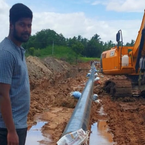
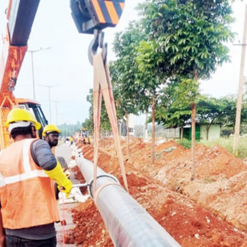
Project Management Consultancy Services (PMC) for pipeline construction involving Quality Monitoring, Progress Monitoring, Certification of bills and close out reports.
Development of accurate Base maps and GIS database using high resolution satellite imageries for showing present and future development to facilitate prioritisation of development of Gas distribution network
Study of Demand and Supply by undertaking field survey and interaction with all concerned statutory bodies including projection of future growth to create a master database of Demand centres.
IT enabled project monitoring applications including for Quality measures, online/web progress reporting systems
Stability analysis including slope protection works on turn key basis (EPC) for laying pipeline in highly erosive type of soil, Ghat regions & hilly terrains.